
Itinerary and Fees
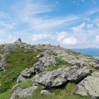
We start off on highway 2 [the Presidential highway] at the Appalachia trailhead in Randolph NH taking the Valley Way to get above the tree line.
- Day 1: Arrival and final gear check
- Day 2: Depart at 00:00 for the trek
- Day 3: Depart for home [or rest day and depart for home the following day]
Fees for this trip are $0.00. Your costs are only travel and potentially a stay in a nearby town.
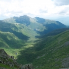
Option 1: Full Traverse
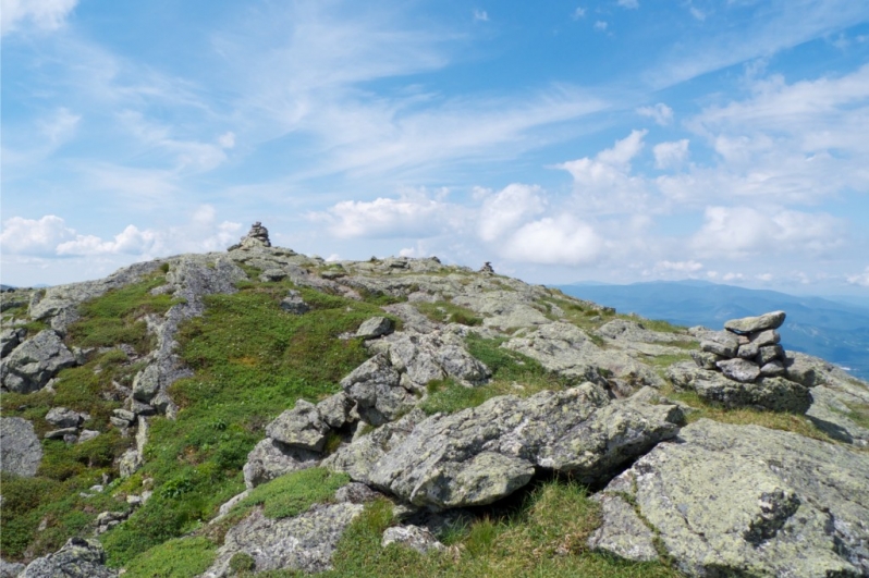
- 1. Mt. James Madison [5367ft/1636m] where we should see the sun rise over the horizon
- 2. Mt John Adams [5796ft/1766m]
- 3. Mt Thomas Jefferson [5712ft/1741m]
- 4. Mt Henry Clay* [on the shoulder of Mt Washington 5533ft/1686m – renamed by NH to Mt Ronald Regan but not recognized as such]
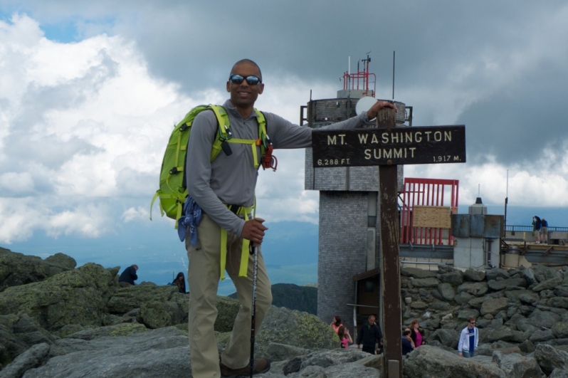
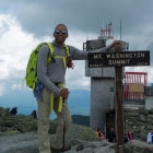
- 5. Mt George Washington [tallest peak 6288ft/1917m]
- 6. Mt James Monroe [5372ft/1637m]
- 7. Mt. Benjamin Franklin* [5001ft/1524m]
- 8. Mt Dwight Eisenhower [780ft/1457m]
- 9. Mt Franklin Pierce [4310ft/1314m]
- 10. Mt Charles Thomas Jackson* [4052ft/1235m]
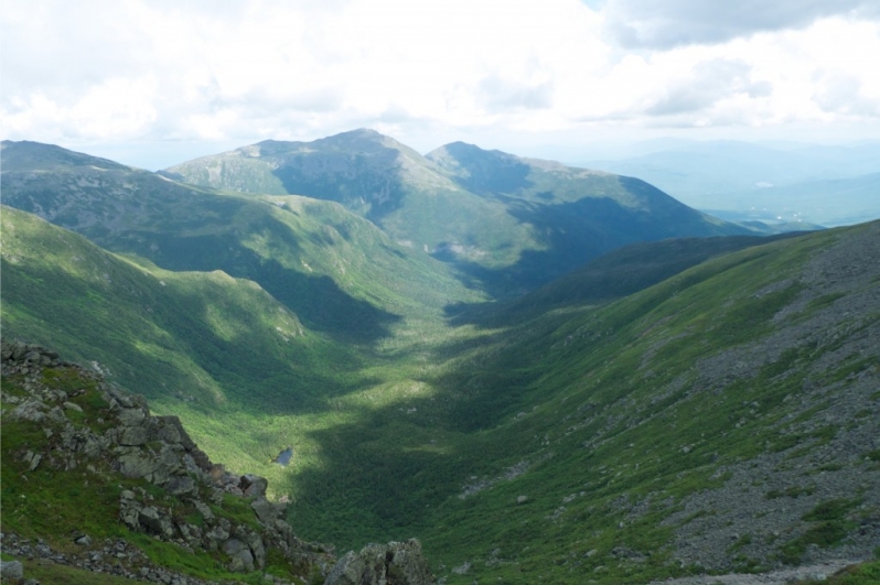
From there we head down to the Crawford house trailhead and drive back some of the climbers to pickup our cars at the Appalachian trailhead.
Option 2: Half Traverse
- 1. Mt. James Madison [5367ft/1636m] where we should see the sun rise over the horizon
- 2. Mt John Adams [5796ft/1766m]
- 3. Mt Thomas Jefferson [5712ft/1741m]
- 4. Mt Henry Clay* [on the shoulder of Mt Washington 5533ft/1686m – renamed by NH to Mt Ronald Regan but not recognized as such]
- 5. Mt George Washington [tallest peak 6288ft/1917m]
From the summit of Mt Washington, we go down to the parking lot at the base of the mountain and drive some of the climbers to pickup our cars at the Appalachian trailhead.
Gear List
The list below is truly weather dependent and you will require a very minimal amount of gear during the trek.
- Footwear: waterproof hiking boots [no running shoes], wool or synthetic lightweight socks;
- Clothing: 1 hard shell jacket, 1 long sleeve base layer, 1 hard shell pant with zippers along sides, 1 1 hiking pant or shorts [depending on weather], 1 wool or synthetic underwear including sports bra, 1 pair of light gloves, 1 hat;
- Backpack: 1 daypack lined with a thick plastic bag;
- Tech: Trekking pole(s), headlamp, sunglasses;
- Food: 2 1L wide mouth water bottles [full], high caloric meals and snacks that you enjoy eating, coffee [optional];
- Other: sunscreen, small towel, TP, sanitary wipes and/or hand sanitizer, first aid kit, a few extra Ziplock bags, camera, GPS [optional], solar panel [optional], music player with headphones [optional], map [optional], camelback [optional], cup/bowl, spork, toothbrush, prescription medicine, passport, and insurance documents.
What is not Included?
- 1. Travel to and from the park
- 2. Personal travel, accident, and rescue insurance
- 3. Personal items including climbing equipment, laundry, bottled water, phone calls, etc.